")
")


 LEGAL ISSUES OF SUBSOIL USE
V. V. Gritskov Transformation of industrial safety legislation – р. 4
The article discusses the bill “Industrial Safety”, which should replace the current Federal Law “Industrial Safety of Hazardous Production Facilities”. The analysis of regulatory decisions in the legal mechanism of legislative regulation of relations in the field of industrial safety is given, some practical problems that hinder their implementation are revealed.
Keywords: industrial safety; Federal Law «Industrial Safety of Hazardous Production Facilities»; bill; changes; hazardous production facility; Rostechnadzor.
GEODESY, MINE SURVEYING, GIS
V. A. Gordeev “Error” or “fault”? – р. 8
The article shows the evolution of metrological terms characterizing the accuracy of measurements over the past 50 years from GOST-R 16263-70 to CIS standardization recommendation 29-2013. It is shown that the main difference between the metrological approach to the processing of measurement results from the mathematical approach adopted in geodesy lies in the refusal of metrologists from the concept of “true reading”. The term «fault» from a synonym for the term «error» has become an independent term, meaning the deviation of the measurement result from a certain reference value of the measured quantity, which contradicts the main provisions of the theory of observation errors.
Keywords: observation error; fault; standard deviation; true reading; result of measurement; theory of errors.
V. V. Serkov, D. Kh. Rezvanov, D. M. Gilaev, A. A. Zagretdinov Methodology, technology and experience of using surface laser scanning for automated inspection of tanks – р. 15
Safe operation of oil tanks implies regular inspections of the structure to verify compliance with the requirements specified in regulatory documents. Modern technologies and regulatory documents allow the use of surface laser scanning methods to perform measurements and determine the geometry of the tanks. The article, based on the example of a completed project, examines a methodology for inspecting tanks using ground laser scanning methods based on Trimble technologies, including equipment and software, demonstrating high efficiency of the applied technologies.
Keywords: surface laser scanning; petroleum tanks; storage tank inspection; deformation monitoring; Trimble; oil tank inspection; point cloud.
N. S. Pavlov, V. A. Nayanova, D. A. Bykasov, M. G. Mustafin Interpretation of the results of geodetic observations for deformations of the cultural heritage object “Banker house Wawelberg” in St. Petersburg – р. 24
In dense urban areas, development of urban communications, including the Metropolitan, intensive development of both ground and underground space increasingly difficult to ensure the safe control of conditions of existing buildings and structures and especially of objects of cultural heritage. The article presents the methodology and the results of observations of deformations of the architectural monument: «The Wawelberg Banking House», and also talks about the possibility of using non-linear programming methods for these purposes. The established seasonal deformations of the building and their interpretation are of interest.
Keywords: geodetic monitoring; observation of deformations; sediment; subsidence of the earth’s surface; roll; atmospheric precipitation; nonlinear programming methods; the Newton’s method of second order.
V. V. Kurbatova Verification of aerial and gnss surveys of ore warehouses – р. 33
The article discusses the experience of using GNSS mine surveying topographic survey for monitoring the movement of production with determining the volume at the Pavlik gold deposit. In order to intensify mine surveying, a comparative analysis of GNSS survey with survey from light unmanned aerial systems was carried out.
Keywords: survey; surveying; GNSS; UAV; aerial photography; ore storage; volume.
L. I. Bulatova, D. M. Gilaev, R. R. Nazarov Experience and prospects of using radar imagery for geodynamic monitoring of oil fields – р. 38
In the oil and gas industry, radar interferometry has proven to be an effective tool for monitoring the displacement of the ground surface, capable of covering large areas at low cost and at spatial scales unattainable with traditional measurement methods. Detection of ground surface movement in the field, definitely, can reduce the risk of potential reactivation of the fault zone with the corresponding damage and loss of infrastructure. The experience of using radar interferometry on the territory of an oil and gas field to determine the velocity of displacement of the earth’s surface is presented below.
Keywords: radar interferometry; LOS; PSI method.
MINE GEOMECHANICS
B. V. Khokhlov, L. A. Kamburova, V. F. Filatov, A. V. Ryzhenko Forecast of long-term geomechanical stability of the skip shoulder JV «LSH “Butovskaya” RP “DONBASSUGLERESTRUCTURIZATION”» when using it in the composition of drain complex with submersible pumps – р. 44
The article substantiates the possibility of using the skip shaft of the Butovskaya mine for pumping water using submersible nozzles, in order to ensure the safe operation of objects on the earth’s surface and trouble-free operation of neighboring, profitable mines.
Keywords: coal industry; restructuring; mine; drainage complex; submersible pump; skip shaft; support; geomechanical stability.
ISSUES OF GEOTECHNOLOGY
V. I. Lyashenko, O. E. Khomenko Increasing the efficiency and environmental safety of combined geotechnologies development of ore deposits – р. 51
The article provides a justification for improving the efficiency and environmental safety of combined geotechnologies for the development of ore deposits by justifying the parameters of mining operations for underground block leach (UBL) of metals in installations mounted in mine workings with UBL. This will ensure the protection and rational use of subsurface resources, increase the technological and environmental safety of combined ore mining with a chamber system with a hardening bookmark.
Keywords: ore deposits; underground block leach; installations; mine workings; environmental safety.
V. N. Komlev To mining and geological validation of the underground object of the final stage of the nuclear fuel cycle – р. 57
The geological conditions of the Russian site for deep burial of radioactive waste near the Yenisei are considered not only isolated within the boundaries of a given site, as was the case before, but also taking into account more ambitious factors: tectonics of lithospheric plates, properties of a number of functionally similar sites in transitional conditions (Baltic–Yenisei–Pacific Ocean), zoning of the local adjacent territory by mineral resources, the presence of other disposal facilities near the site. In such a semantic connection, it is proposed to study at the exploration stage the main engineering-geological parameter of the rock mass for safety – the state of the underground hydrosphere.
Keywords: geological disposal of radioactive waste; underground construction; waste storage facility; safety; hydraulic permeability rocks; law; technical regulations.
ANNIVERSARIES
90 years of Panfilov Evgeny Ivanovich – р. 64
OUR MEMORY
In memory of Iofis Mikhail Abramovich – р. 65
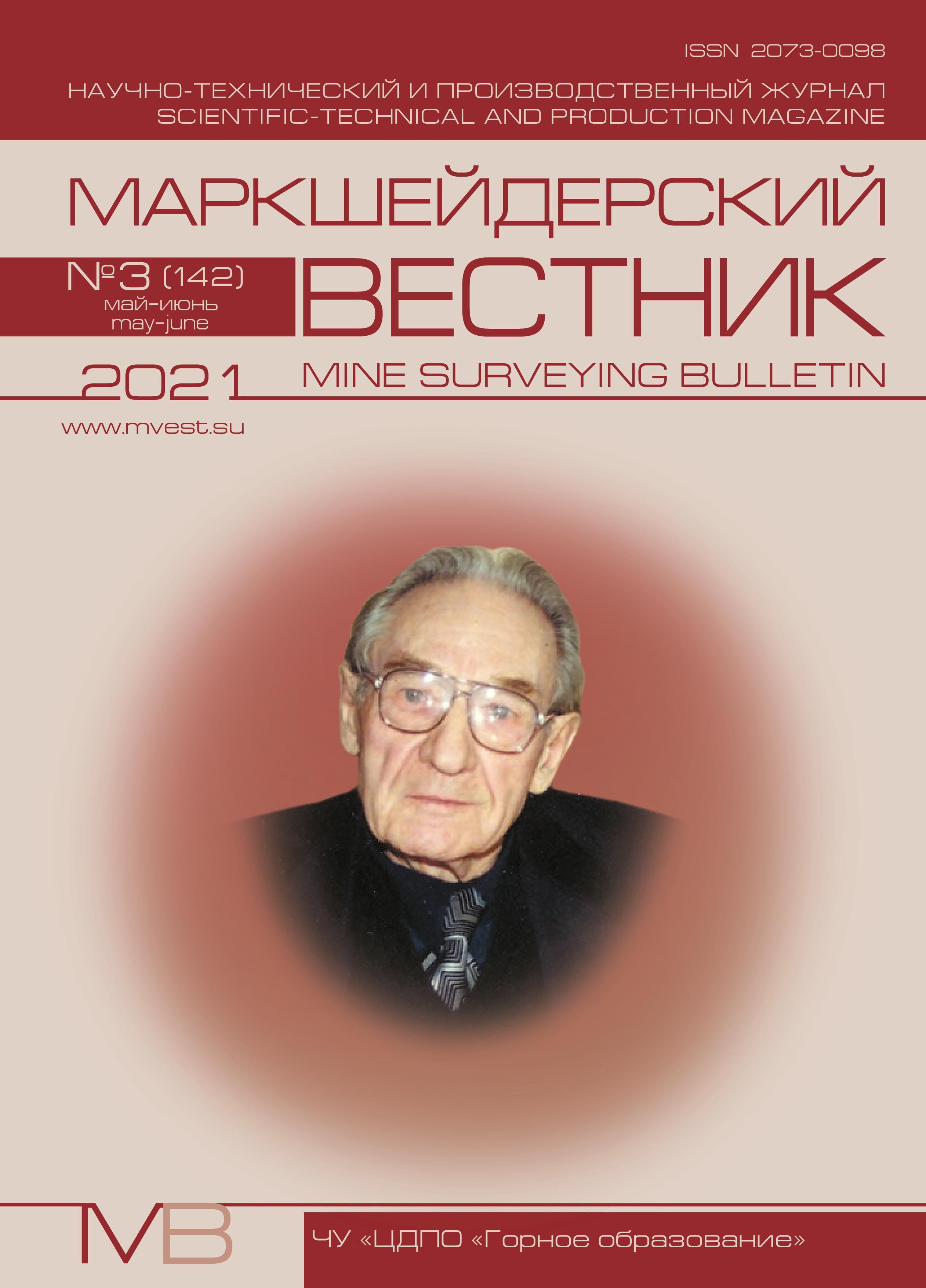
On the 100th anniversary of Konstantin Sergeyevich Vorkovastov, the founder and first editor-in-chief of the mine surveying bulletin (1921–2010) – р. 66