")
")


 - ANNIVERSARY OF THE «MINE SURVEYING BULLETIN»
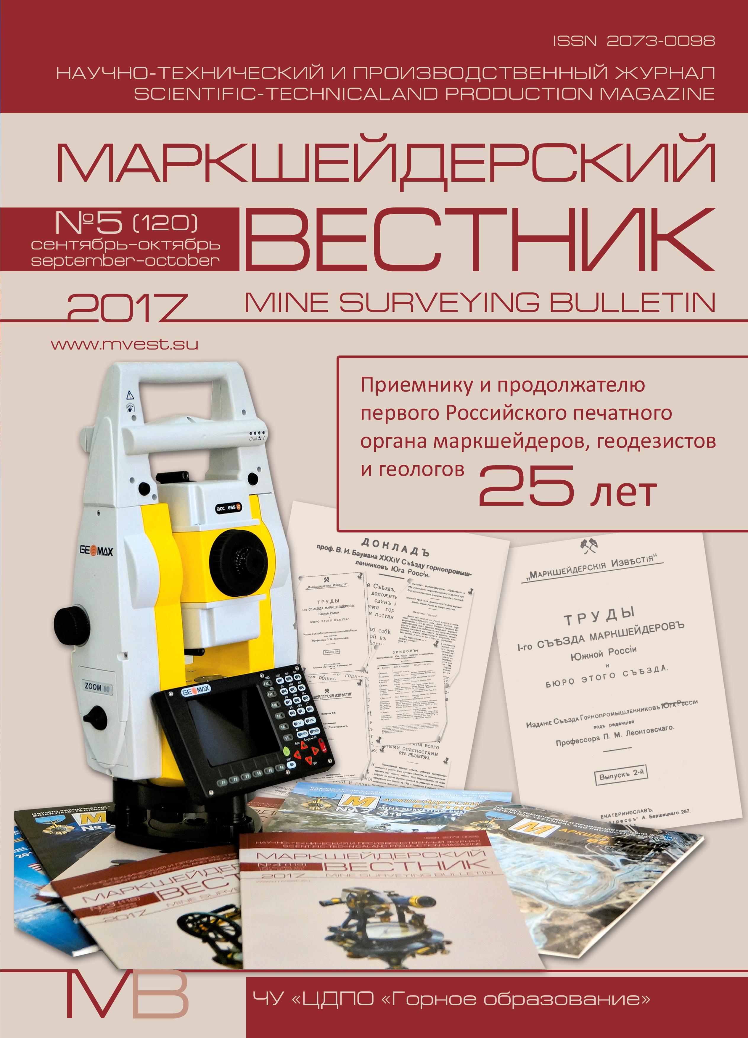
Scientific-technical and production magazine «Mine surveying bulletin» – 25 years – p.4
– IN THE MINING SURVEYORS UNION OF RUSSIA
Zimich V. S. About the history of supervision over protection of mineral resources – p.9
Gritskov V. V. About confirmation of qualification of specialists mining companies – p.13
The article considers the relevance of assessment of qualification of specialists of mining companies in the framework of realization of strategy of development of system of professional qualifications in Russia. Provides information on the development of professional standards « Mine surveyor» and the formation of the Council for professional qualifications in the field of geospatial data initiated by the all-russian public organization «Union of mine surveors of Russia».
Keywords: subsoil use; mining companies; evaluation of qualifications of specialists; the system of professional qualifications; the independent evaluation; surveying work; the all-russian public organization «Union of surveyors of Russia»; professional standard «Mine surveyor»; the Council for professional qualifications in the field of geospatial data.
The state Kremlin Palace solemnly congratulated the workers of the coal industry on the day of the miner – p.19
Congratulation of veteran miners on miner's Day – p.21
On the implementation of the socially oriented program «Mine knowledge for Youth» in 2017 – p.21
– LEGAL ISSUES OF SUBSOIL USE
Omarov G. Z., Dudikov M. V. Regulation of the transition of the right to use subsoil: problems and prospects aimed at the development of regions – p.22
The analysis of the legislation of the Russian Federation on subsoil in the part of the norms regulating the relations connected with the transition of the right to use the subsoil is performed. It is shown that the closed list of the transfer of the right to use the subsoil not only does not help attract investment in the development of the mining industry as a whole and in geological prospecting in particular, but also because of the presence of collisions, which allows virtually uncontrolled transfer (and possibly sell) subsoil. It was proposed to establish not a list of cases of transfer of the right to use subsurface resources and the re-registration of a license for the use of subsoil, but a list of requirements to business entities that can be assigned to such a right.
Keywords: mining industry; the legislation of the Russian Federation; subsoil use; the subject of the Russian Federation; the Russian Federation Law «On subsoil»; the transfer of subsoil use; license for use of mineral resources; legal; legal person; the user of the subsoil; the business entity; the conservation, liquidation and recultivation measures.
– GEODESY, MINE SURVEYING, GIS
Galyanov A. V., Shlemov I. A. Accuracy of the methods of equalizing mine surveying and geodesic triangulations. Methodical bases of equalization for mine surveying and geodesic networks – p.30
Initial positions of the theory of equalization calculations and comparison of the results of equalization by the method of least squares and analytical method are considered in this article.
Keywords: triangle; equalization; method of ordinary least squares; analytical method; residuals; simulation modeling; efficiency; error; comparison.
Zubov A. V., Eliseeva N. N. Solution of mine surveying and geodetic tasks by search methods – p.35
Considered search methods of solution of mine surveying and geodetic tasks. Algorithm of approximation of the measurements of the circumference is implemented in the programming environment Visual Basic for Applications. Analyzed the effectiveness of the program with different input data.
Keywords: search methods; measurements of objects of cylindrical shape; approximation by a circle.
Melnik A. D. About inspections and tests of surveying and geodetic instruments – p.39
The article presented is a response to the discussion on the topic of metrological support for surveying and geodetic measuring instruments.
Keywords: surveying and geodetic instruments; metrology; verification and testing of instruments; requirements of normative documents; proposals for adjustments to the regulatory framework.
Pravdina E. A. Losses and dilution valuation at gold field «Ryabinovoe» of «SELIGDAR GOLD JSC» – p.45
The literature of losses and dilution valuation is analysed. Types of losses on gold mine «Ryabinovoe» are analyzed and classified. The calculation of losses and dilution in relative terms by several techniques is done. Optimal parameters of mining are selected in accordance with the maximum economic efficiency (profit). This leads to a decrease in operating losses.
Keywords: mining; open pit mining; losses and dilution; rating.
Zaitseva N. V. Designed for experiments underground geometry – p.51
Continuing the theme of historical heritage mountain geometers (Zaitseva N. V. The historical legacy of the mining geometry in the Nizhny Tagil mining and metallurgical college named after E. A. and M. E. Cherepanov museum // Mine surveying bulletin. 2017. No. 2. Pр. 20–23) the article discusses the device, the main tool of mining the geometry of the XVI–XIX centuries – the mountain of the compass exhibited in the Museum of Nizhny Tagil mining and metallurgical college named after E. A. and M. E. Cherepanov.
Keywords: underground geometry; hanging compass; perenose – lying compass.
– MINE GEOMECHANICS
Tsirel S. V., Taratinskiy G. M., Ponomarenko M. R., Kantemirov Yu. I. Earth surface deformation monitoring in the mining areas of JSC «Apatit» enterprise (Murmansk region) using radar interferometry – p.57
The paper describes the experience of two-year monitoring of Earth surface deformations and mine technical constructions in the areas of mining operations of JSC «Apatit» enterprise with the use of synthetic aperture radar. The method of radar interferometry was applied for the calculation of surface displacements. The paper presents the requirements for the methodic of radar sensing and data processing that were formulated during the research. The results of radar images processing were analyzed and compared with ground observation data.
Keywords: synthetic aperture radar (SAR); radar interferometry; earth surface deformations; ALOS PALSAR, TerraSAR-X.
Gusev V. N., Malykhina E. M. Study of the processes of displacement and deformations of rocks according geomechanical monitoring of Yakovlevsky mine – p.64
Results of the analysis of geomechanical monitoring of displacement and deformations of a surface and excavations which is organized on the Yakovlevsky mine are stated in article.On the basis of differences between displacement of sedimentary breeds and ore breeds it is shown that on the contact of these breeds located over a lying side and over the suspended side of an ore body geometrical emptinesses are formed, and in a middle part of a trough which is created on contact of these breeds, there is a moving to geometrical emptinesses of the loosened ore breeds. Quantitative assessment of parameters of disclosure of geometrical emptinesses and parameters of moving to geometrical emptinesses of the loosened ore breeds is given.
Keywords: geomechanical monitoring; subsidence; boundary corners; center of gravity; geometrical emptinesses.
– INFORMATION
Review of all-russian scientific-practical conference «Rational and safe subsurface use» – p.70